Papers from SWICo members
M. Pietrella and M. Pezzopane.
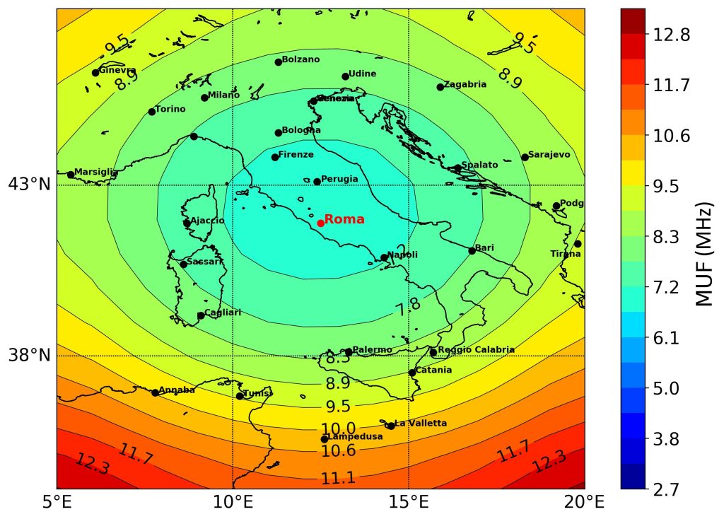
This work describes how MUF and skip distance maps are generated combining the Simplified Ionospheric Regional Model (SIRM) and its UPdated version (SIRMUP) with the Lockwood algorithm. Climatological maps are generated every hour considering the predicted 12-months smoothed sunspots number. Nowcasting maps are instead generated every 15 min exploiting foF2 and M(3000)F2 data measured at the ionospheric stations of Rome and Gibilmanna.

Nowcasting maps constitute the most important novelty because they let High Frequency (HF) users know in quasi real-time the radio propagation conditions over Italy. This is really important in terms of reliable radio links, especially in case of adverse space weather events.
Publication: M. Pietrella and M. Pezzopane, Maximum usable frequency and skip distance maps over Italy, Adv. Space Res., 66(2), 243, 2020. https://doi.org/10.1016/j.asr.2020.03.040
